Industrial IoT for
Smart Transport & Cities
Bring moving assets and city infrastructure data into a shared operational view. Support fleet telemetry, transport workflows, and edge-based data optimization without overloading existing systems.

Connected City Ecosystem
From rolling stock to traffic signals, create a coordinated data layer for urban operations. Review the case study, scorecard, and integration docs.
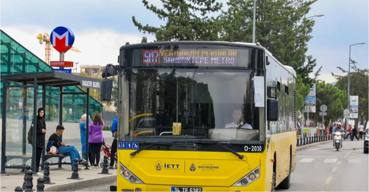
Fleet Telematics
High-precision GPS tracking with dead reckoning for tunnels and dense urban canyons.
- ✓ Real-time Location
- ✓ Geofencing Actions
- ✓ Route Replay
Predictive Maintenance
Monitor engine health, tire pressure, and door cycles to prevent breakdowns on route.
- ✓ CANBus / FMS Data
- ✓ Engine Diagnostics
- ✓ Maintenance Alerts
EV Bus Optimization
Track electric bus range, charging status, and battery health in the same operational context.
- ✓ Range Prediction
- ✓ Charge Scheduling
- ✓ Battery reporting
Smart Traffic
Integrate traffic signals to prioritize buses and emergency vehicles (TSP).
- ✓ Signal Priority
- ✓ Congestion Heatmaps
- ✓ Adaptive Timing
Passenger Info (PIS)
Push accurate ETAs to station displays and mobile apps based on live traffic.
- ✓ GTFS-Realtime
- ✓ On-board Displays
- ✓ Announcement Audio
Safety & Security
Real-time alerts for harsh braking, speeding, and impact detection.
- ✓ Driver Behavior
- ✓ Accident Replay
- ✓ Panic Button
Project in Progress
Goal: Proof of Concept (PoC)
A pilot study was conducted on a select group of vehicles to prove that edge filtering of continuous telemetry (GPS, CANBus) could eliminate high cellular costs and latency issues for critical alerts.
- check_circle Edge Filtering: Transmit GPS only on change > 50m or turn > 10°
- check_circle Smart Batching: Buffer engine data locally, send in optimized packets
- check_circle Instant Alerts: Critical events (accident, panic) bypass buffers
Operational Focus Areas
Common areas cities and transport operators monitor during phased rollouts.
Maintenance and event data help teams review reliability trends.
Fleet telemetry adds context around idling and route efficiency.
Event handling can prioritize incidents and emergency workflows.
Transport FAQ
Technical answers for city CTOs and Fleet Managers.
Can Proxus handle high-frequency GPS data from thousands of vehicles? expand_more
Yes. The platform uses NATS JetStream to ingest millions of events per second. We also support "Edge Filtering" to transmit GPS coordinates only when position changes by a configurable threshold (e.g., >20m or >10° turn), saving significant cellular data.
Do you support electric bus (EV) telemetry? expand_more
Absolutely. We connect to the vehicle CANBus (J1939, FMS) to read State of Charge (SoC), range anxiety metrics, and battery health, integrating this with route planning.
Is it possible to integrate with existing Passenger Information Systems (PIS)? expand_more
Yes. Proxus acts as the source of truth for vehicle location. We push cleaned ETA data to PIS displays, mobile apps, and GTFS-Realtime feeds via standard APIs.
Start Connecting Urban Transport Data
Start with one vehicle class, depot, or route group, then expand once telemetry and workflow needs are validated.